Sugar Reach Channels Reconnection Project
Construction will begin on July 1st. Work is expected to be completed at the WDFW Floodplain Phase 2 worksite at the end of August. Work at the Sugar worksite will continue through October.
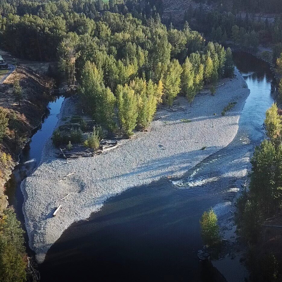
Where is this project?
The project focuses on opportunities to improve fish habitat within a 5 mile stretch of the Methow River just north of the town of Twisp. Within this reach there are four subproject areas: WDFW, Eagle Rocks, Sugar Right and Sugar Left (combined Sugar). The majority of the proposed habitat work is on privately-owned lands and is being designed with support from landowners. Some project elements are proposed on property that has been purchased by Methow Salmon for restoration work, WDFW property, and on bed lands controlled by WA Department of Natural Resources.

Location Map showing the proposed work areas of the Sugar Reach Channels Reconnection Project.
Why is this project being constructed?
Restoring habitat for steelhead and spring Chinook within the Methow River between Twisp and Winthrop has been identified as a high priority in the Upper Columbia Biological Strategy. Aerial records and historic fish counts show that spawning and rearing opportunities for these species are the significantly reduced from historical conditions. This project has been designed to address these limiting factors.
The project will address the highest priority ecological concerns identified within the reach including:
Increase the quantity and availability of peripheral and transitional habitats
Increase instream channel complexity
Increase the quantity of native riparian buffer
Reduce impact of anthropogenic barriers
What will this project do to address ecological concerns?
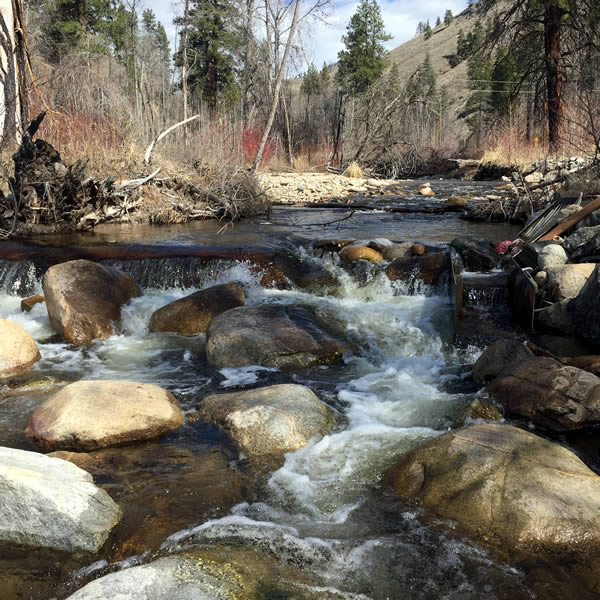
The project is designed to restore river process within a newly defined river corridor. Historically, the river migrated side to side across the entire valley floor, and the alignment of the river was continuously changing. This movement would create important habitat for salmon, including floodplain areas, side channels and wood accumulations. Over time the construction of roads, homes and flood protection features, such as levees or bank riprap started to constrain the river to single alignment. Land clearing also contributed to an overall decrease in the quantity of wood in the river. The project team worked with landowners and stakeholders to identify an area where river process could be restored.

Specific actions include:
Channel and floodplain grading to enhance floodplain and side channel connectivity. This includes floodplain channels that are wet seasonally during high flow and side channels that have water year-round.
Removal or modification of anthropogenic (man-made) features. This includes the removal of accumulated material from an historic irrigation dam, modification of an existing levee and excavation of fill placed within the floodplain
Engineered logjams and other wood placements. Large wood structures along the Methow River will promote flow into side channels. Smaller wood structures and individual log placements within side channel and floodplain area will increase habitat for endangered salmon.
Planting of native riparian species. A restored riparian will increase instream shading, replenish the large wood cycle and re-establish more naturally moderated channel migration rates
When will this project be constructed?
Construction will be completed over multiple years starting in summer 2024. Generally, work within the Methow River is limited to the month of July in each year to protect fish species, but special exemptions will allow these projects to be constructed in late summer and early fall to take advantage of low flow conditions.
2025 & 2026 - Sugar Channels Reconnection Project
Methow Salmon prioritizes working with local and regional contractors. This will be a large project that will span three construction seasons starting in 2024. Individual contracts will be awarded for each worksite. Contractors are encouraged to contact us to be placed on our contractor list.
Who is doing this project?
This project has been developed by the Methow Salmon Recovery Foundation in coordination with a multi-agency Project Development Team, landowners and project partners. Bureau of Reclamation, Bonneville Power Administration, Salmon Recovery Funding Board, Ecology Floodplain by Design, Okanogan Conservation District, Rock Island Habitat Conservation Plan Tributary Committee, and Priest Rapids Coordinating Committee have provided funding and technical support for the project.
Learn about other Salmon Habitat Projects


Solutions with Lasting Value