Twisp River Floodplain Project - Restoring Floodplain Function
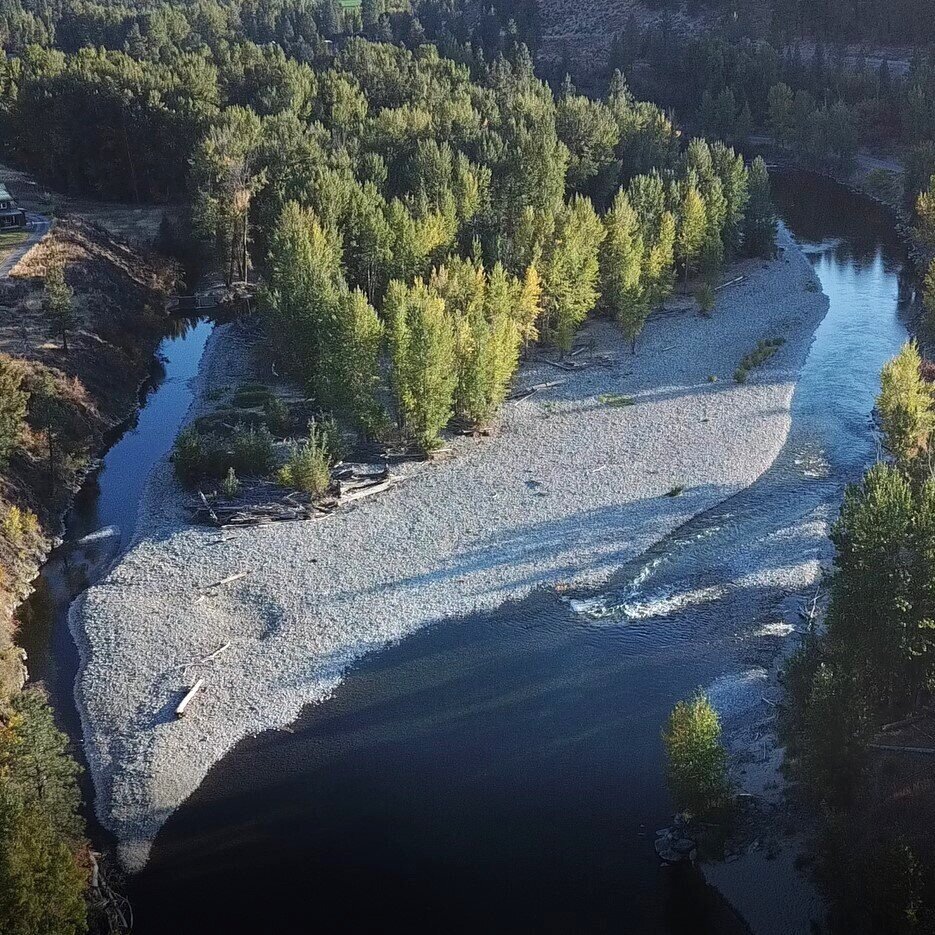
The Twisp River Floodplain restoration site is located 3.5 miles upstream from the Town of Twisp. The project was completed in two phases to restore degraded habitat functions in the river and associated floodplain along a 1-mile reach of the Twisp River. Phase 1 of the project was constructed in 2015/2016 and included work at two sites on the Twisp River. Phase 2 was completed in 2019 and expanded work completed during phase 1.
Pasture to Floodplain - Phase 1
A component of the Phase 1 project focused on restoring natural floodplain function by removing constructed features within the floodplain and increasing habitat complexity within the Twisp River and Poorman Creek. Two surface irrigation diversions were removed and replaced with new groundwater wells. The conversion to wells allowed Methow Salmon to restore a floodplain wetland that had historically been used as an irrigation reservoir. Additional work in the floodplain included regrading several flood control berms and roads to reconnect isolated wetland areas. Work in the main-stem of the Twisp River was designed to restore habitat complexity along the river edge by installing log structures and replanting native riparian vegetation. Several larger boulders were also placed in the river to create resting pools for salmon moving through the site.
Irrigation Canal to Floodplain Channel - Phase 1

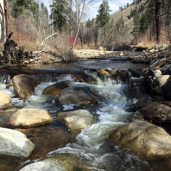
Wood accumulations in the former MVID irrigation canal provide year round channel habitat to salmonids.
Before 2015 the Methow Valley Irrigation District (MVID) used to divert water from the Twisp River. The canal provided irrigation water to landowners from the diversion through an open canal to the users up to 8 miles downstream from Twisp. In 2016 MVID partnered with Trout Unlimited to convert the open canal and river diversion to a groundwater supply system as part of a large irrigation efficiency project. Methow Salmon then removed the MVID West diversion infrastructure and portions of the protective levee along the river to increase floodplain connection. In channel work focused on increasing habitat diversity by placing wood structures and boulder clusters within the active flow channel complexity. Site restoration included removing historic berms created from canal dredging and repurposing the intake canal to supply water to multiple side channels through the reconnected wetland area.
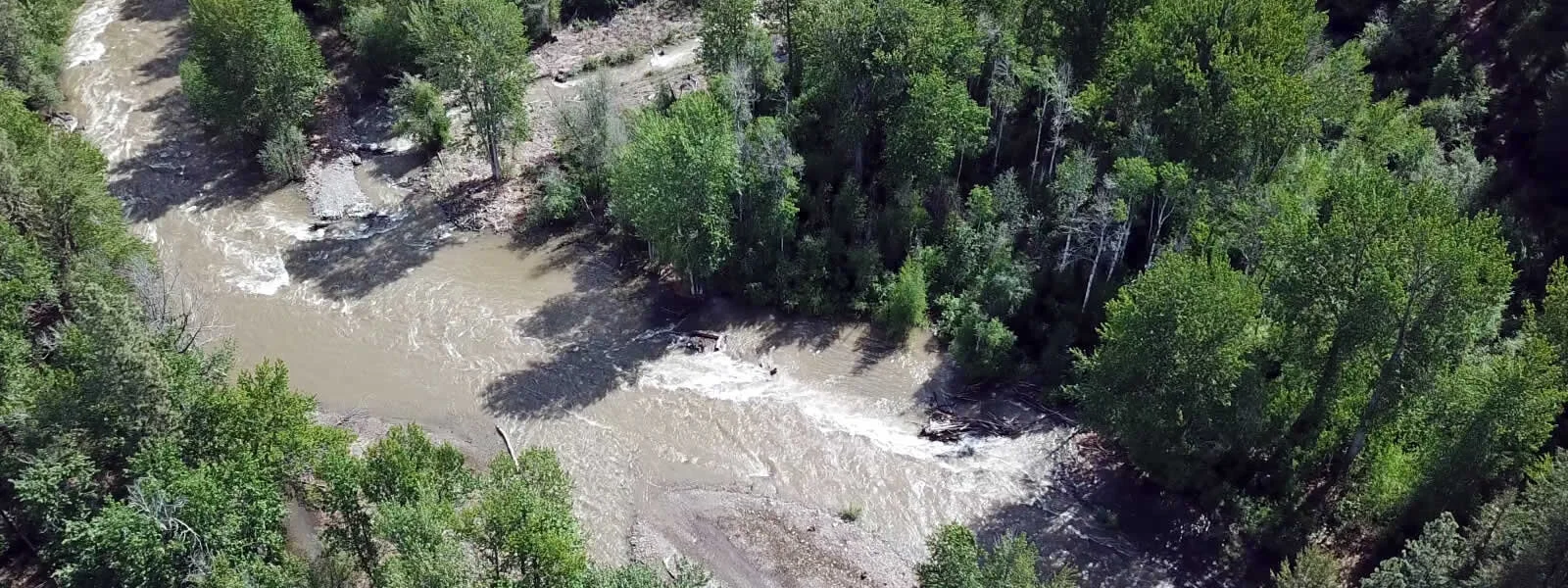
Irrigation Reservoir to Wetland - Phase 2
The second phase of the Twisp Floodplain project expanded on the phase 1 levee removal work to increase the frequency of flooding through the connected wetlands. Other modifications included the construction of a new floodplain channel to increase wetland habitat between an isolated pond reservoir and the Twisp River. Additional habitat restoration actions included the construction of two alcoves at spring-fed channel inputs to the Twisp River. Wood structures were included in both alcoves and the constructed channel to provide additional cover for juvenile salmon. Work on the opposite bank of the Twisp River included replacement of a passage barrier culvert with a wood timber bridge and rerouting a small tributary creek away from the toe of a rip-rapped bank and into a newly constructed meandering floodplain channel.
“Before the floodplain restoration project this would have been a dry field. Now you need boots. ”
Learn about other Salmon Habitat Projects